
Measure
As-Built Docs. & 3D Modeling
STREAMLINE DESIGN & CONSTRUCTION
LiDAR scanning provides accurate spatial data, reduces errors, and accelerates
project timelines by providing a reliable foundation.
project timelines by providing a reliable foundation.
E57 Models
High-precision point cloud models ensuring
exact spatial and object measurements.
exact spatial and object measurements.
ARCHITECTURAL &
ENGINEERING ASSETS
For design and construction workflows, we convert scan data
into professional formats using industry-standard tools such
as AutoCAD and Revit.
into professional formats using industry-standard tools such
as AutoCAD and Revit.
As-BuilTs
2D schematic floor plans.
Building Features
Specific building features upon request.
> Use Cases
> Renovations & Retrofits
> Facility Management
> Space Planning
> Structural Analysis
> Pre-construction documentation
> Facility Management
> Space Planning
> Structural Analysis
> Pre-construction documentation
AS-Builts
2D schematic floor plans.
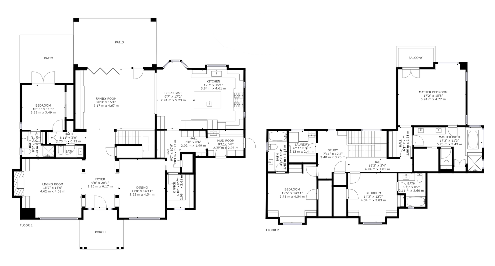
Floor Plans
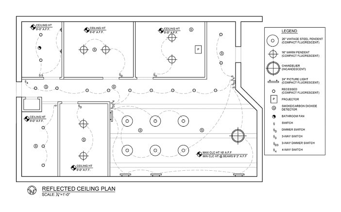
Reflected Ceiling plan
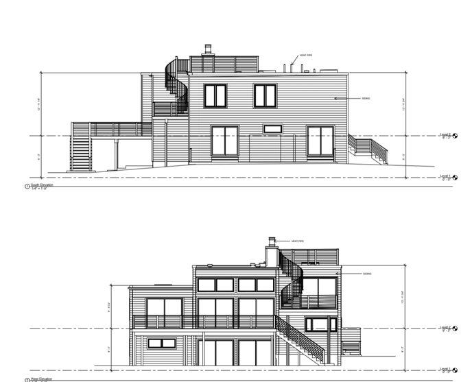
Elevations
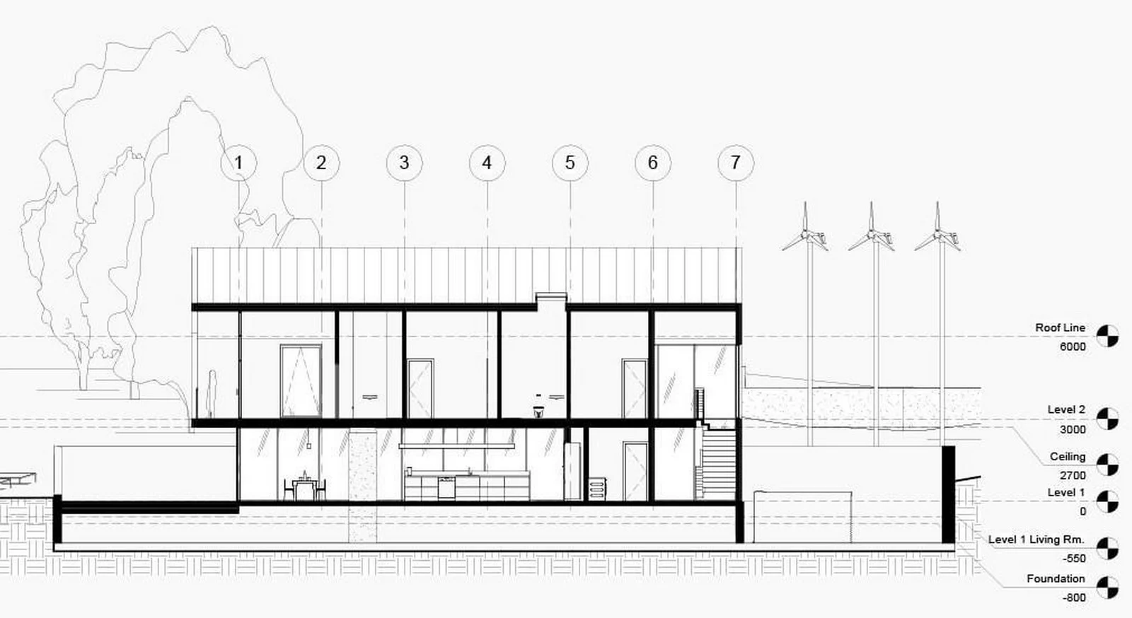
Sections
Building Features
Specific building features upon request.
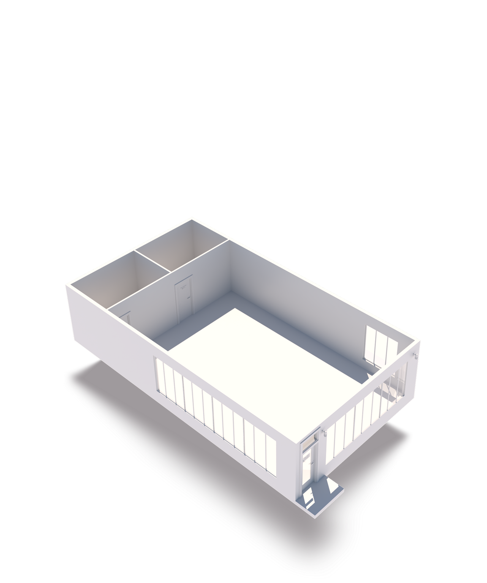
Architecture
The building’s basic architecture, such as walls, doors, stairs, and windows.
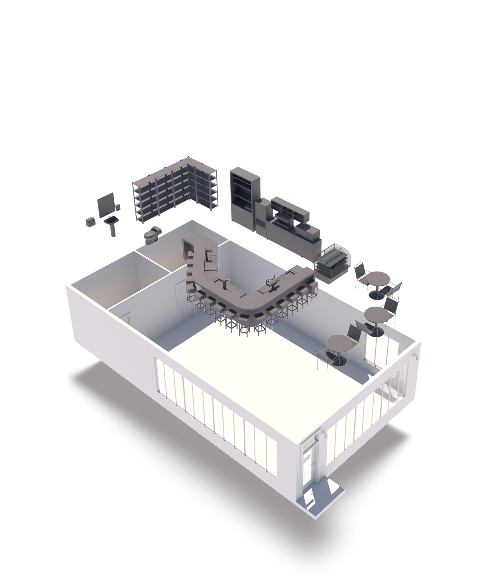
Architecture
& Furniture
Tables, seating, cabinets, appliances,
and some wall fixtures.
and some wall fixtures.
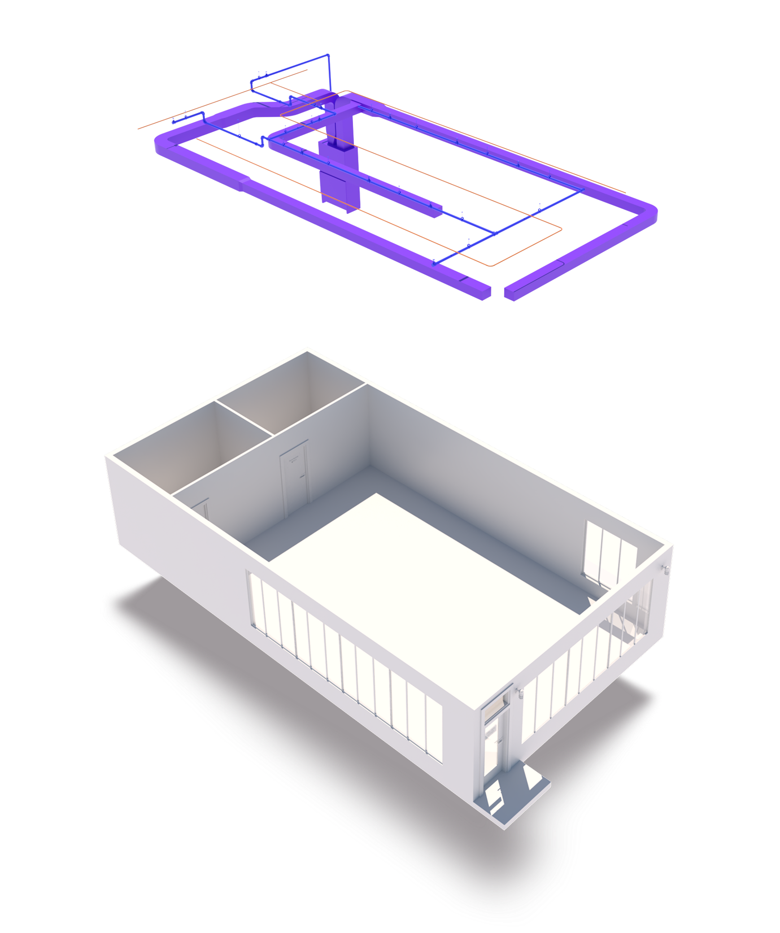
Architecture & MEP
Mechanical equipment, ducts, conduits,
pipes, and outlets.
pipes, and outlets.
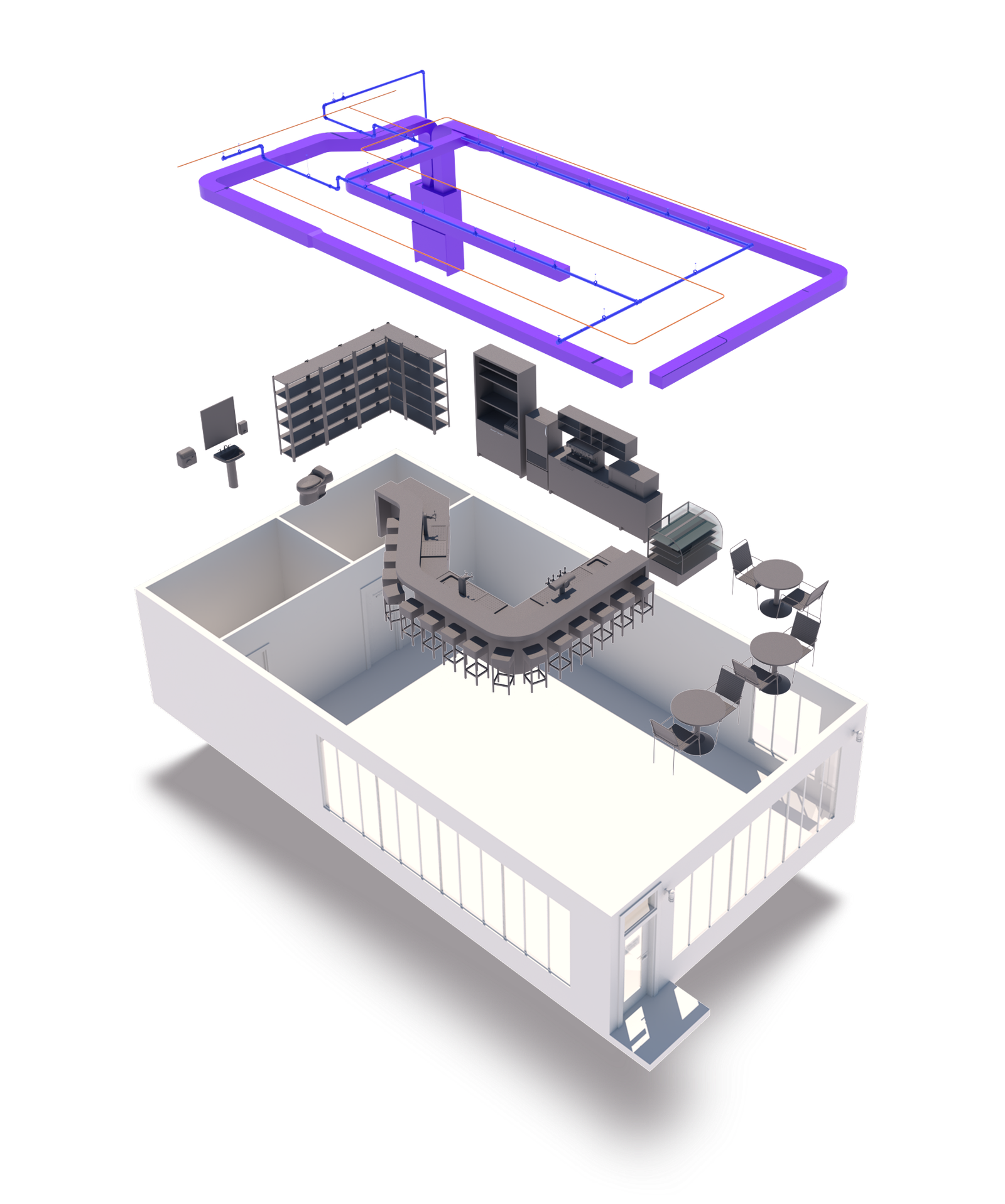
Architecture, MEP &
Interior Furniture
Includes both furniture and functional
systems of the building.
systems of the building.
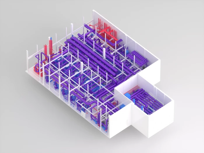
Architecture & Complex
Industrial MEP
Industrial spaces like mechanical rooms, electrical rooms, data centers, and industrial-type buildings.
The Tool
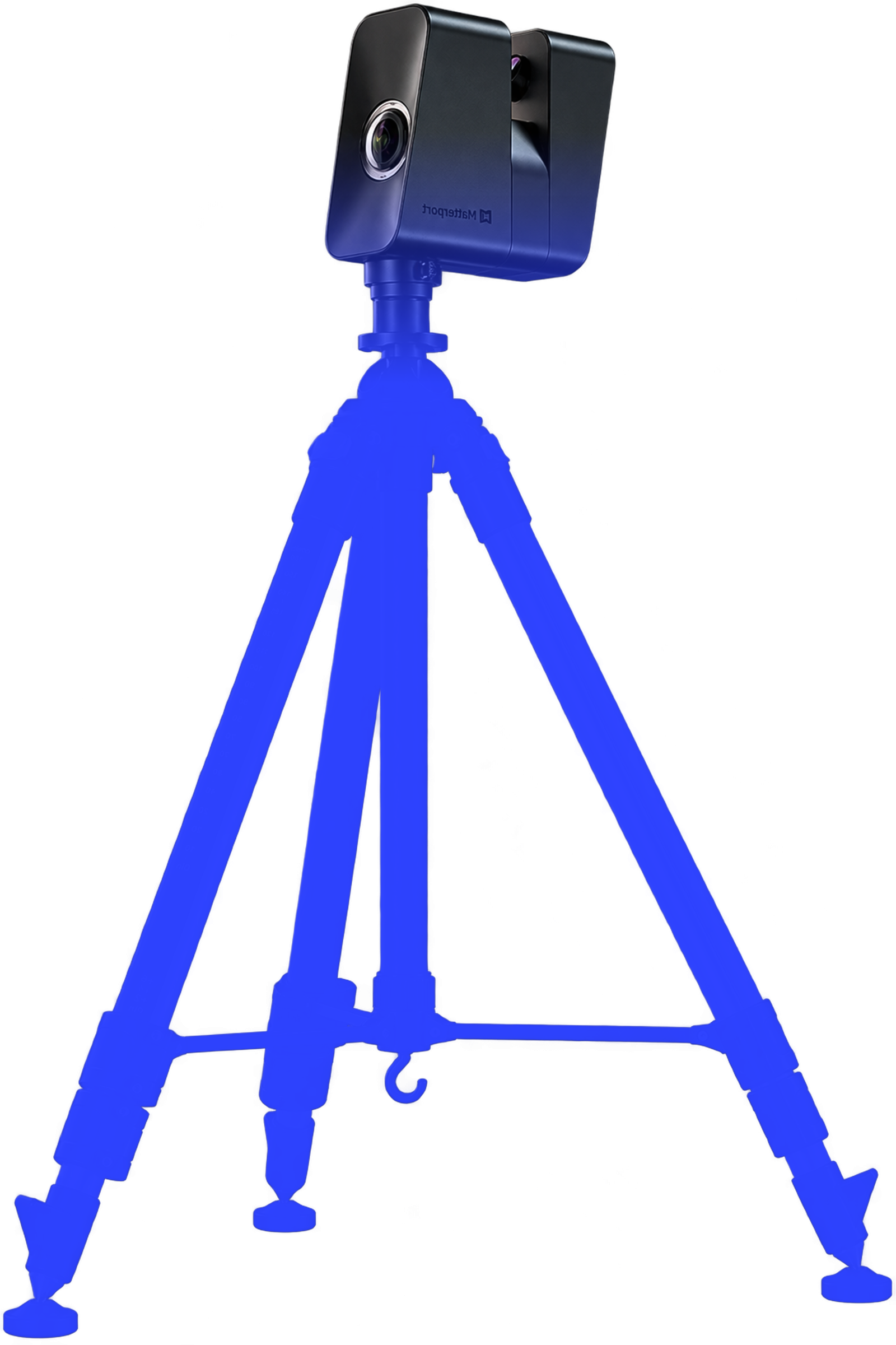
Matterport Pro 3
MEASUREMENT CAPABILITIES
* High-Precision LiDAR (100 Meter Range)
* Full-Sun Outdoor Scanning
* Faster Scanning Speed
* Stunning 134-Megapixel Imagery
* Professional CAD & BIM Exporting
* Full-Sun Outdoor Scanning
* Faster Scanning Speed
* Stunning 134-Megapixel Imagery
* Professional CAD & BIM Exporting